
Engineered for Challenging Environments
Oscar GNSS Receiver
Full Satellite Tracking
Multipath Mitigation
Fixed in Seconds
Reliable RTK Performance

Calibration-free Tilt Compensation
Tested accuracy of 2cm when tilted at 60° (2m or 1.8m pole).


Let’s Get Right to the Point
Smart Battery
Oscar comes with 2 swappable, large capacity batteries with power displays. Works up to 16 hours (4G/3G/2G network or base-rover radio modes).
Large Internal Storage
With up to 16GB of memory on board, Oscar supports 300+ days of storage (e.g., at a 15sec sapling rate in TRS format). Standard RINEX also supported.
Connectivity & Transmission
Oscar supports UHF, 4G, Wi-Fi, and NFC connectivity. The built-in UHF 2W radio modem enables Oscar to receive and transmit correction data at typical ranges of 5-10km.
Compatibility
Fully compatible with mainstream formats for correction data. Supports file import and export in various formats.
Robust Design
IP68 rated dust and water proof. Resistance of 2m pole drop onto concrete. Meets the United States Military Standard of MIL-STD-810G & FIG 514.6C-1.
Tersus Caster Service
Free use of the Tersus Caster Service, a cloud service to transmit and receive corrections over cellular connections, for Oscar bases and rovers. You can support multiple rovers from a single base.


Tersus Geo Office 2(TGO2) Post Processing Software
Tersus Geo Office 2 is a desktop data processing software based on Windows OS, designed by Tersus GNSS Inc, and all rights reserved.
TGO2 has various functions, covering multiple business modules for professional users, supporting GNSS post-processing and network adjustment, road design and inspection, RTK project processing, and point cloud data processing.


Related Products
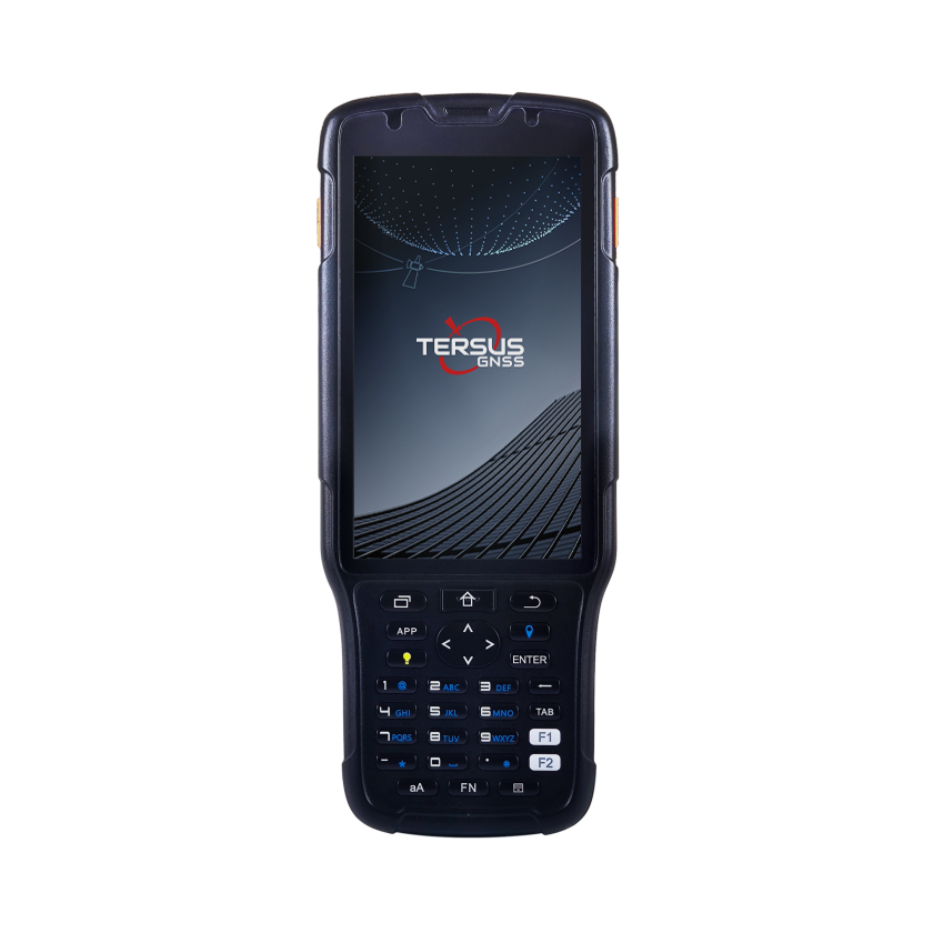
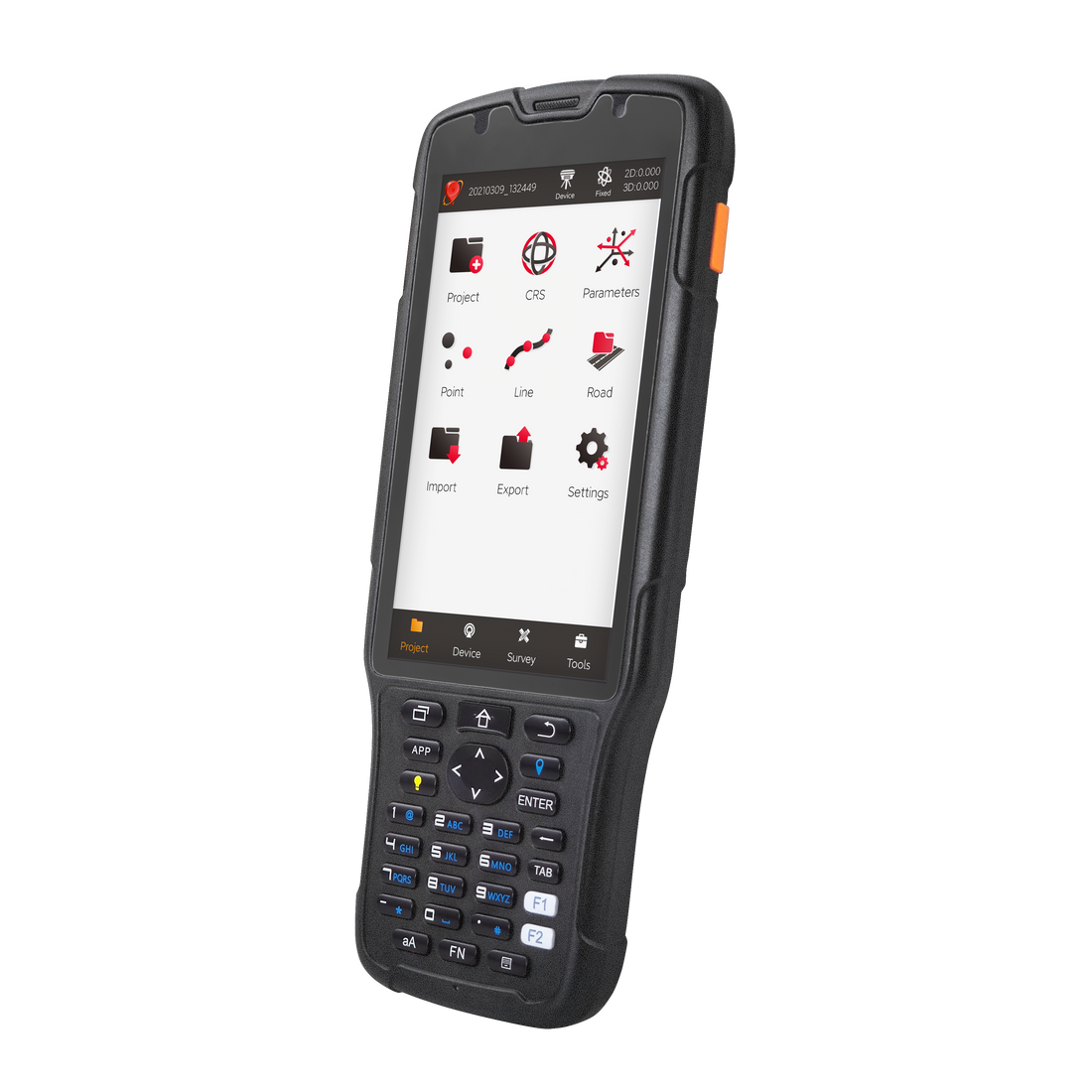
Controller & Tablet -- TC50
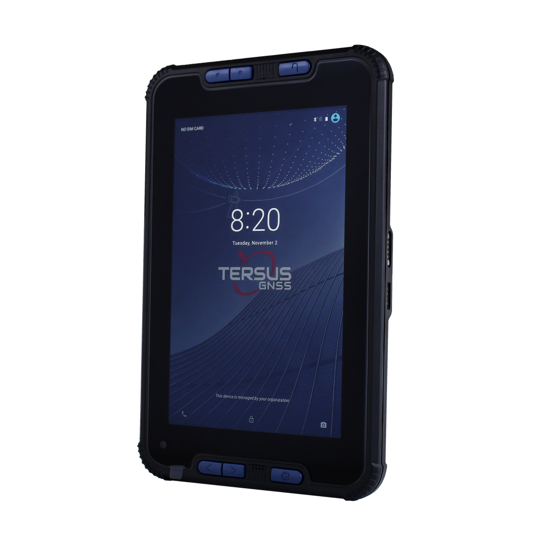
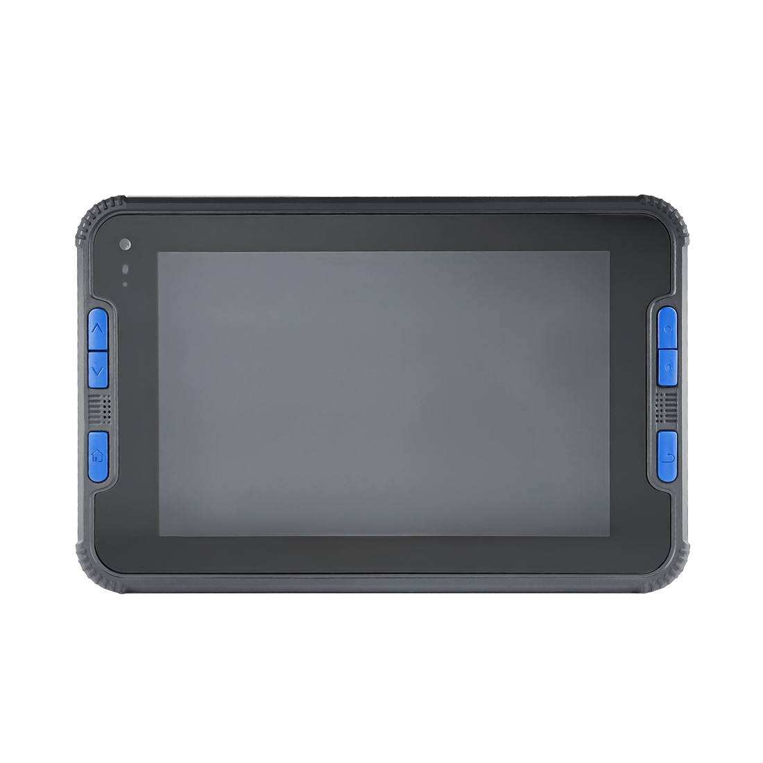
Controller & Tablet -- TC40

RTR Rod-Tip-Roller
